NASA-ISRO's NISAR sends first radar images of Earth's surface; reveals exceptional details of land, forests and agriculture
NASA and ISRO's joint NISAR satellite, launched in July 2025, has released its first radar images, showcasing Earth's surface in remarkable detail. The dual-band radar system provides unprecedented insight into forests, wetlands, farmland, and urban areas. These images highlight NISAR's potential for monitoring ecosystems, agriculture, and natural disasters.
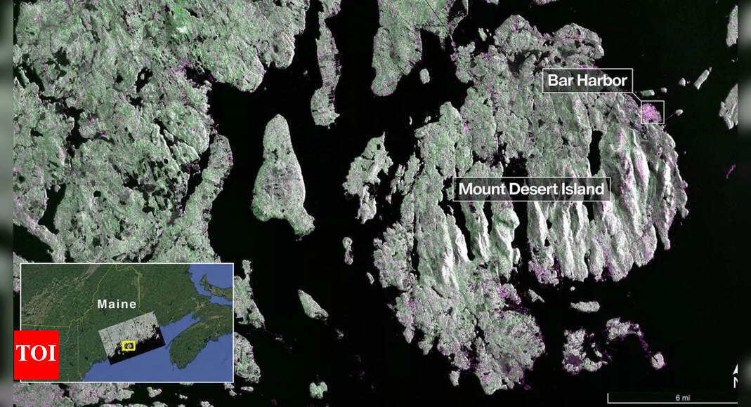
NASA and ISRO's joint NISAR satellite, launched in July 2025, has released its first radar images, showcasing Earth's surface in remarkable detail. The dual-band radar system provides unprecedented insight into forests, wetlands, farmland, and urban areas. These images highlight NISAR's potential for monitoring ecosystems, agriculture, and natural disasters.